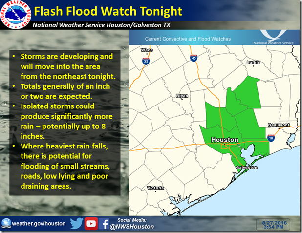
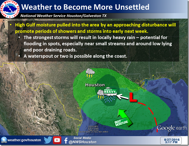
An approaching upper disturbance will increasingly promote showers and storms, moving in from the east and northeast tonight. In general, 1-2 inches of rain are expected, but isolated cells could produce significantly more – perhaps up to 8 inches in the most intense, slowest moving cells. After a pretty unsettled stretch lately, this could produce isolated flooding issues, particularly for impacted areas that are already flood-prone. For this reason, we’ve issued a flash flood watch for tonight. This could be extended further, as unsettled weather is expected to carry into the early week.
In the tropical sphere, NHC still has attached a 10% formation potential to this disturbance, for the very small likelihood that it could transition to something tropical. Regardless, the expected main impact will be the rain discussed above. Farther east, Invest 99L still has a medium potential for development. It still is good to monitor this, but it is important to note that impacts to SE Texas are not currently forecast. 


