
ISSUED: 1:20 PM NOV. 24, 2022 – NATIONAL WEATHER SERVICE
…FLOOD WATCH IN EFFECT THROUGH SATURDAY MORNING…
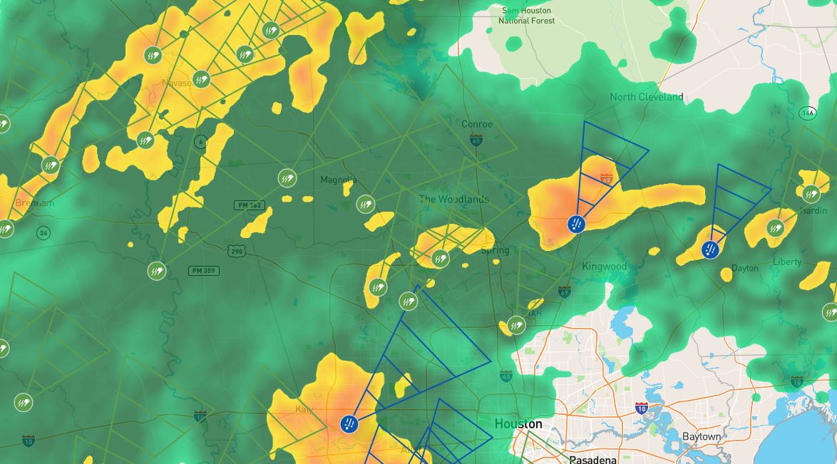
* WHAT…Flooding caused by excessive rainfall is possible.
* WHERE…Portions of south central Texas and southeast Texas,
including the following areas, in south-central Texas, Coastal
Jackson and Inland Jackson. In southeast Texas, Austin, Bolivar
Peninsula, Chambers, Coastal Brazoria, Coastal Galveston, Coastal
Harris, Coastal Matagorda, Colorado, Fort Bend, Galveston Island,
Inland Brazoria, Inland Galveston, Inland Harris, Inland
Matagorda, Matagorda Islands, Montgomery, Northern Liberty,
Southern Liberty, Waller and Wharton.
* WHEN…Through Saturday morning.
* IMPACTS…Excessive runoff may result in flooding of rivers,
creeks, streams, and other low-lying and flood-prone locations.
Flooding may occur in poor drainage and urban areas.
* ADDITIONAL DETAILS…
– Periods of showers and thunderstorms are expected in and near
the Watch area through Saturday morning. Rainfall rates up to
2 inches per hour are expected with higher rates up to 4
inches per hour in the stronger and slower moving storms.
Locations that have already received heavy rain on Thursday,
especially across southeastern Harris county and Brazoria
county will be most vulnerable to flooding. There might be
periods with little to no rainfall, but when heavy rains
return late Friday the flood risk will increase.
– https://www.weather.gov/safety/flood
PRECAUTIONARY/PREPAREDNESS ACTIONS…
You should monitor later forecasts and be alert for possible Flood
Warnings. Those living in areas prone to flooding should be prepared
to take action should flooding develop.